Map Layout
Last Updated: July 2024
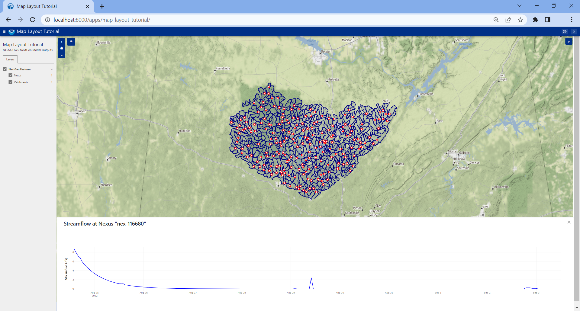
This tutorial demonstrates how to use Map Layout in a Tethys app within the context of visualizing the outputs of the "Next Generation Water Resources Modeling Framework" (NextGen) developed by the National Oceanic and Atmospheric Administration's Office of Water Prediction (NOAA-OWP).
Outline
Supporting Materials
Attribution
This tutorial was created for use in a live workshop that was part of the 2023 CIROH Training and Developers Conference in Salt Lake City, Utah.