Showcase Apps
Last Updated: September 2025
Starting in Tethys Platform 4.0, the Developer Tools pages were removed from the Tethys Portal including the Gizmo Showcase page. Two new Tethys Apps were developed to replace the Gizmo Showcase including the Gizmo Showcase App and the Layout Showcase App. These apps can easily be installed into any Tethys Portal and provide live demos and code examples of all of the Tethys Gizmos and Layouts, respectively. Use the instructions below to install each app and view the code.
Gizmo Showcase App
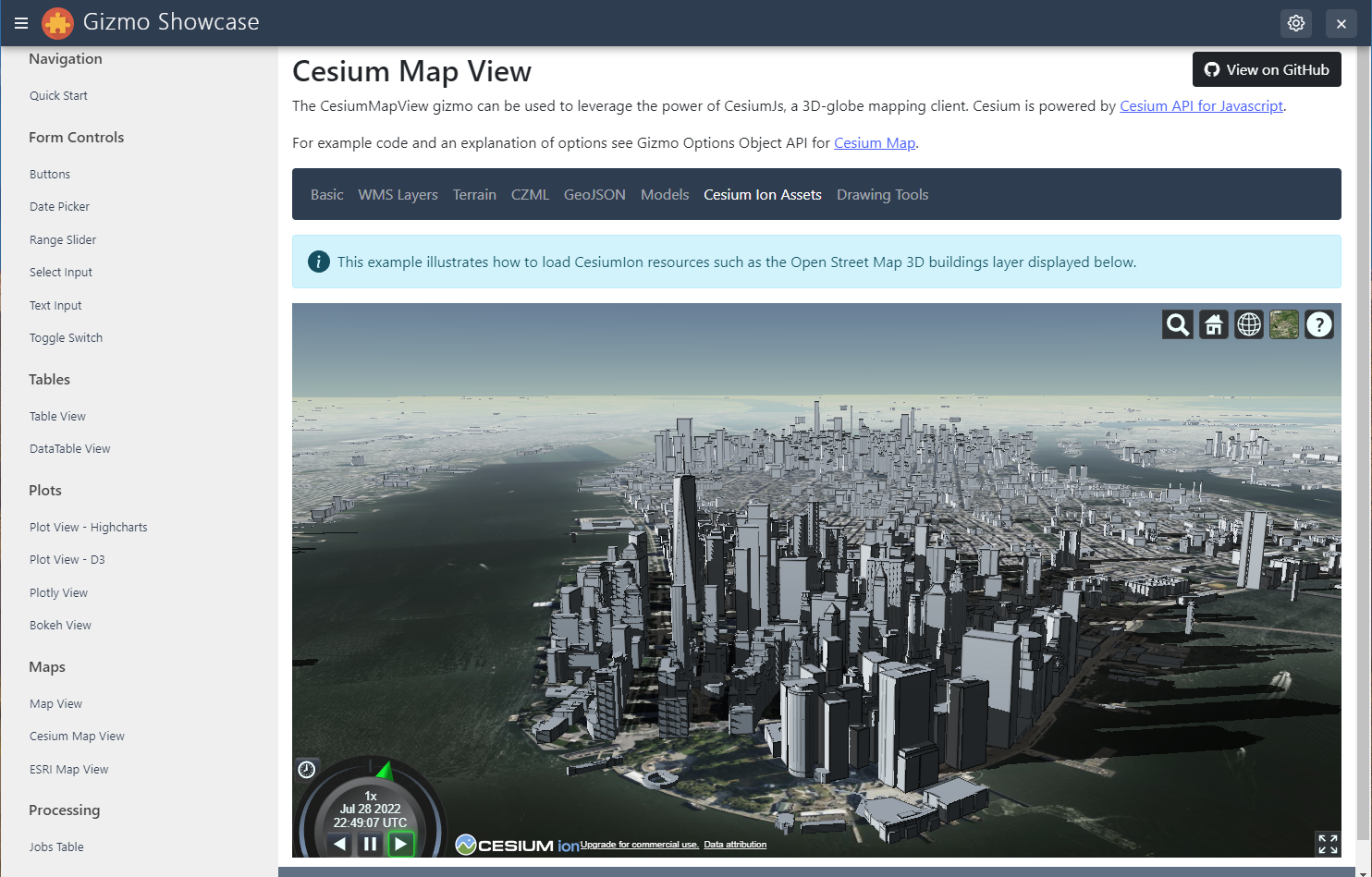
The Gizmo Showcase App provides live demonstrations and code examples of every Gizmo.
Live Demo
You can try the Tethys Gizmos Showcase App online on the Tethys Demo Portal.
Source Code
The source code can be viewed on GitHub:
Installation
Download Code
git clone https://github.com/tethysplatform/tethysapp-gizmo_showcase.gitRun
tethys install:cd tethysapp-gizmo_showcase tethys installDownload sample data for Bokeh plots (first time only)
python
>>> import bokeh
>>> bokeh.sampledata.download()
Set up Cesium Ion Token (Optional)
To view the Cesium Map View demos, you will need to obtain a Cesium Ion Token. See Cesium ion Access Tokens tutorial for instructions on obtaining a token. After obtaining a token, navigate to the settings for the Gizmo Showcase, locate the cesium_ion_token setting under Custom Settings section, enter the token, and save.
GeoServer (Optional)
The Gizmo Showcase has a Spatial Dataset Service Setting that can be used to link a GeoServer service into the app. When included, the Map View Gizmo and the WMS Cesium demo will display the US States layer. Any GeoServer can be used, so long as it contains the demo layers. See Assign Spatial Dataset Service for how to add a GeoServer as a Spatial Dataset Service and link it to an app.
Layout Showcase App
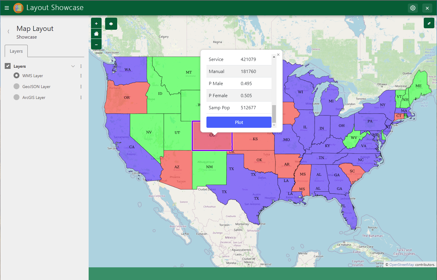
The Layout Showcase App provides live demonstrations and code examples of each Tethys Layout.
Source Code
The source code can be viewed on GitHub:
Live Demo
You can try the app Tethys Layout Showcase App online on the Tethys Demo Portal.
Installation
Download Code
git clone https://github.com/tethysplatform/tethysapp-layout_showcase.gitRun
tethys install:cd tethysapp-layout_showcase tethys installOpenCage Geocoding API Key (Optional)
The Map Layout includes a reverse geocoding capability (address search) that is powered by the OpenCage Geocoding API. To enable this feature in the demo you will need to acquire an OpenCage API key. Use their Quick Start guide to learn how to obtain an API key. Then enter the API key in the
geocode_api_keysetting of the app.GeoServer (Optional)
The Layout Showcase App has a Spatial Dataset Service Setting that can be used to link a GeoServer service to the app. When included, the Map Layout demo will display the US States layer hosted by GeoServer. Any GeoServer can be used, so long as it contains the demo layers. See Assign Spatial Dataset Service for how to add a GeoServer as a Spatial Dataset Service and link it to an app.